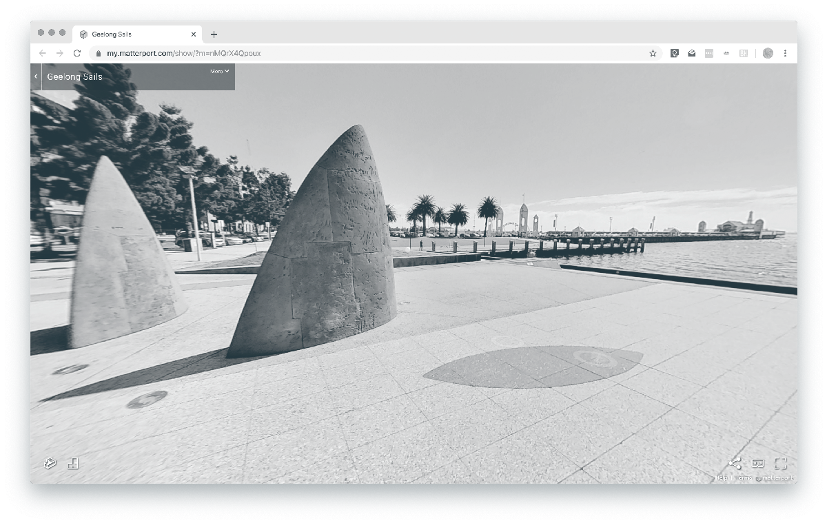
Virtual tours. These are essentially walk-through, 360 degree photographic tours. They enable a far greater ‘feel’ and connection to the site and surrounds than previous representations. When designing or reviewing proposals, looking at a feature plan and photos is good, but limited; being able to revisit the site digitally in 3D photography, and move around within it is the equivalent of a site visit that you always have access to without hopping in the car.
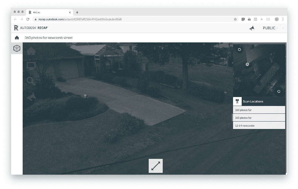
360 degree scanning. The links below allows us to share our 360 photos from the scanner, along with providing capability to measure, understand and annotate. After opening the link, click on the ‘scan locations’ and use the various tools to change the view and importantly, measure between features in the photography. The key difference of the scanning is obviously this ability to measure; anything which is not clear from an original survey can be reviewed and measured using this tool, and obviously the 3D points provide a key input for design.
Some training is necessary to fully utilise this tool.
Our scanner has many applications from ResCode surveys, infrastructure and tunnel measurement to façade and point clouds to build BIM models.
360 degree photos can be embedded as links in survey plans. To access, open the pdf, click on the camera icons, then click on the icon in the top left corner to scan around the photolink. The camera height can be set up to 7.5m and the incorporation of this element into an otherwise basic site and context survey, brings a far greater level of detail and understanding of both the site and its context.
St Quentin employ drones as a cost effective solution to gather 3 Dimensional data to compute stockpile volumes, site contours and large scale feature plans.